






Chiang Mai is the easiest northern base for day hikes and guided outdoor trips: city-edge temple trails, Doi Inthanon National Park, and regulated mountain access around Chiang Dao. Start with the Monk’s Trail if you want a short, meaningful first walk; save summit routes and overnight treks for cooler months and confirmed permits. For the wider country picture, see hiking in Thailand. Temple manners at trail ends: Thailand etiquette.
Quick answer
For a first Chiang Mai hike, the Monk’s Trail to Wat Pha Lat is the easiest meaningful choice: close to the city, shaded in parts, and free. Doi Inthanon has the best-run trails (Ang Ka and Kew Mae Pan), and Doi Luang Chiang Dao is the serious one, with a permit.
| Trail | Distance and time | Difficulty | Cost (foreigners) | Season |
|---|---|---|---|---|
| Monk’s Trail to Wat Pha Lat | About 2 to 3 km, 30 to 60 minutes up | Easy to moderate | Free | November to February; slippery after rain |
| Monk’s Trail to Doi Suthep | About 7 km, roughly 3.5 hours, around 600 m of climbing | Moderate to hard | Free; temple entry applies | November to February |
| Ang Ka, Doi Inthanon | 360 m boardwalk, 15 to 20 minutes | Easy | 300 THB park entry (foreign adult) | Year-round |
| Kew Mae Pan, Doi Inthanon | 2.8 km loop, 2 to 3 hours | Moderate | 300 THB park entry plus 200 THB guide per group | 1 November to 31 May |
| Doi Luang Chiang Dao | About 8.5 km to the summit, a full day | Hard | Permit required, booked ahead | Roughly November to February |
| Mae Wang day hike | About 10 km through forest and Karen villages | Moderate | 100 THB park entry | Cool season |
Distances are from park and attraction pages and walkers’ route logs, so treat them as approximate. Smoke season, usually March and April, can wipe out views and make exertion unsafe.
Trekking in Chiang Mai
Searches for “trekking in Chiang Mai” usually mean a guided day or overnight walk to a hill village. These leave from the city through operators, and the useful questions are the same as for any trek: the named route, walking distance and hours per day, which village you sleep in, and how the money reaches that village. The regulated mountain option is Doi Luang Chiang Dao, and Mae Wang (about an hour’s drive from the city) is the usual area for day treks. Avoid operators who cannot say where you will walk.
Huay Tung Tao Lake
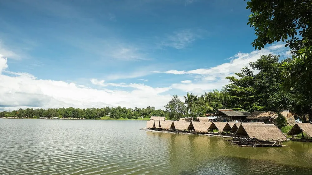
Huay Tung Tao is a lakeside walk and lunch stop rather than a hike. Use it as a rest day between harder routes; for a longer walk, book a named guided route.
Doi Suthep: Monk’s Trail to Wat Pha Lat
The usual first section climbs from the city side of Doi Suthep to Wat Pha Lat. This is the shorter, easier temple walk, though roots and wet ground still need shoes with grip. Continuing from Wat Pha Lat to Wat Phra That Doi Suthep is a separate, steeper section and needs more time and care, especially after rain. Cover shoulders and knees for the temple; see temples in Thailand for Doi Suthep context.
Start early: the trail begins at the top of Suthep Road behind Chiang Mai University, and strips of saffron cloth tied to the trees mark the way. The whole climb from Suthep Road to the Doi Suthep temple is about 7 km with roughly 600 m of ascent, so allow 3 to 4 hours one way and carry water.
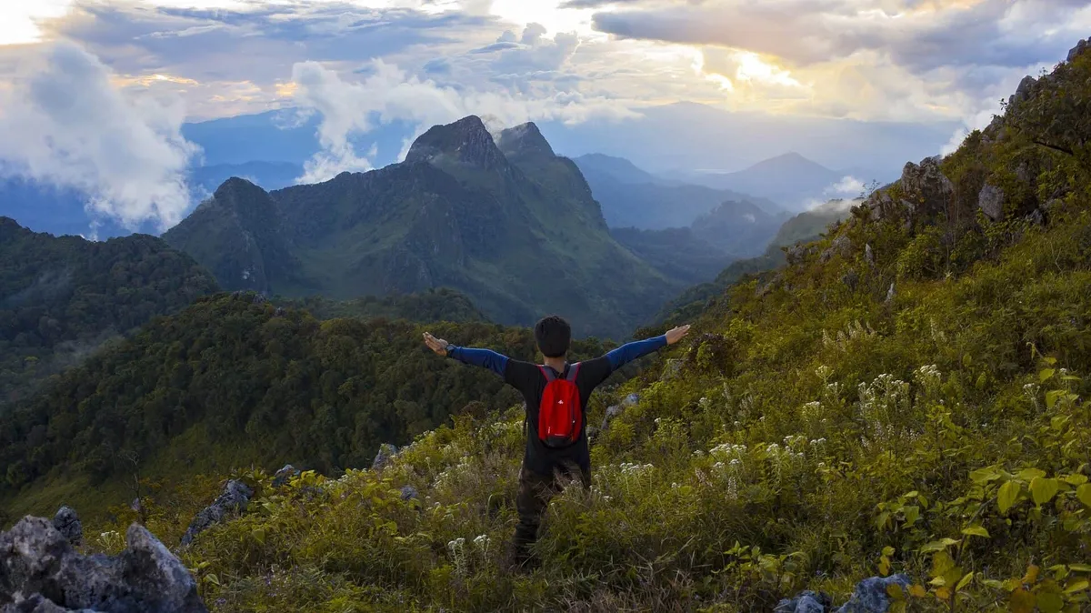
Chiang Dao: Doi Luang
Access to Doi Luang Chiang Dao is regulated, not a year-round independent hike. Walking season normally runs roughly November–February, with advance booking, visitor limits, closed days, and required preparation on sanctuary rules. The summit route is about 8.5 km and takes a full day; the peak is 2,175 m, Thailand’s third highest. Book the permit and guide first, and do not turn up expecting to walk it independently.
Doi Inthanon National Park
Doi Inthanon National Park holds Thailand’s highest point, cloud forest, waterfalls, and several short nature trails. The park receives visitors year-round, but individual trails have seasonal rules. The Kew Mae Pan Nature Trail is a 2.8 km ridge loop open from 1 November to 31 May, with a mandatory local guide (200 THB per group) on top of the 300 THB park entry, and is at its best from November to early February. Ang Ka is a 360 m boardwalk through cloud forest that takes 15 to 20 minutes.
Mae Wang and Mae Taeng (guided areas)
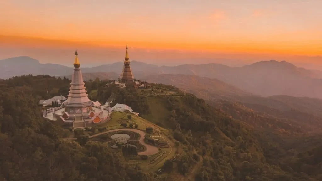
Mae Wang National Park and the Mae Taeng corridor are touring areas, not one standard public trail. Operators combine village paths, forest walks, rafting, and transfers differently. The national park charges foreigners 100 THB, and a day hike of around 10 km passes through forest and Karen hill-tribe villages. Choose a tour that names its route, walking distance and village arrangements. Avoid operators that sell vague cultural visits without explaining how local communities take part. See also our ethical notes in Chiang Rai hill tribes.

Practical packing
Water, sun protection, mosquito repellent, shoes with grip, and a light layer for higher elevations. Temple finishes need respectful clothing. Ask for elevation gain and walking hours.
Related reading
- Chiang Mai destination guide and temples in Thailand
- Country-wide trails: hiking in Thailand
- Sunrise at altitude: Phu Chi Fah sunrise
- Quieter cultural travel north: Chiang Rai hill tribes and Chiang Rai
- Waterfalls near the city: best waterfalls in Thailand